| Pavadinimas | Lat/Long | Tipas | Nuotraukos |
|---|---|---|---|
| Packer Stausee |
46.977088 15.020145 |
Ežeras |  |
| Erholungsgebiet Wienerberg |
48.167672 16.342571 |
Parkas |  |
| Windradlteich |
48.056555 16.307759 |
Ežeras |  |
| Walmendinger Horn |
47.325908 10.128374 |
Panorama / apžvalgos aikštelė |  |
| Römerzeche Rust |
47.800193 16.676039 |
Vyninė |  |
| Raggaschlucht |
46.93017 13.138067 |
Pasivaikščiojimo takas | 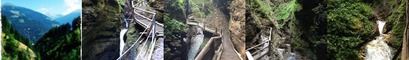 |
| Sonntagskogel 1849m |
47.305726 13.250095 |
Kalnai |  |
| Kreuzkogel Sportgastein |
47.060534 13.066009 |
Kalnai |  |
| Strandbad Hermagor - Pressegger See |
46.62885 13.437899 |
Paplūdimys | 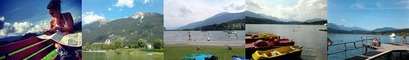 |
| Strandbad Keutschach |
46.588639 14.16926 |
Paplūdimys | 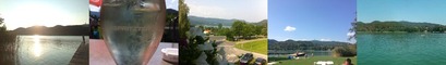 |
| Weingut Polz |
46.684478 15.622572 |
Vyninė |  |
| Preiner Gscheid |
47.676215 15.723361 |
Pasivaikščiojimo takas |  |
| St. Michaels Church |
47.855901 13.349978 |
Istorinė vieta | 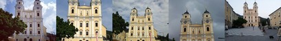 |
| Karlesjoch |
46.863646 10.71288 |
Kalnai |  |
| Kameltheather |
47.819022 15.536781 |
Zoo sodas |  |