| Pavadinimas | Lat/Long | Tipas | Nuotraukos |
|---|---|---|---|
| Hardangerfjorden |
60.318953 6.338049 |
Panorama / apžvalgos aikštelė | 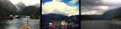 |
| Buerbreen Gletsjer |
60.053751 6.555874 |
Pasivaikščiojimo takas | 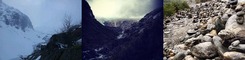 |
| Orrestranden |
58.740622 5.517732 |
Paplūdimys | 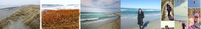 |
| Utsikten |
59.9005 10.769903 |
Panorama / apžvalgos aikštelė | 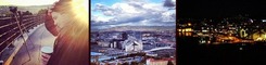 |
| Høgkubben |
62.448197 6.411483 |
Panorama / apžvalgos aikštelė | 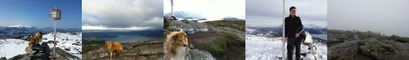 |
| Gvepseborg |
59.885797 8.547047 |
Panorama / apžvalgos aikštelė | 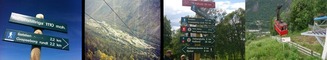 |
| Tananger Havn |
58.9305 5.57891 |
Nemokama aikštelė/nakvynė | 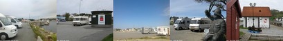 |
| Petroglifos de Leiknes (Korsnes) |
68.244292 16.063487 |
Nemokama aikštelė/nakvynė | 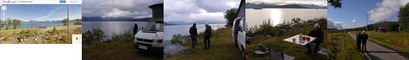 |
| Parking |
70.41719 25.15285 |
Nemokama aikštelė/nakvynė | 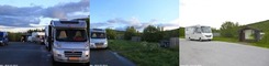 |
| Tau parking |
59.06482 5.90524 |
Nemokama aikštelė/nakvynė | 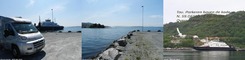 |
| Gansvika |
59.86169 11.21756 |
Nemokama aikštelė/nakvynė | 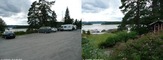 |
| Laerdal Vindedalen |
61.12285 7.37423 |
Nemokama aikštelė/nakvynė |  |
| Tjenna |
58.72055 9.22676 |
Nemokama aikštelė/nakvynė | 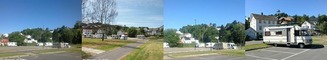 |
| Sand |
59.48516 6.24752 |
Nemokama aikštelė/nakvynė | 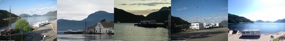 |
| Sandvesanden |
59.16783 5.19516 |
Nemokama aikštelė/nakvynė |  |